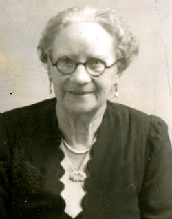
Birth 03/02/1878 🏛️ Electric street lighting in London | Chard, Somerset 📍 ⓘFree BMD Ref: 5c 424 Chard Birth Civil Registration Index |
Lived (3) 1881 | Kings Arms Inn, Chard, Somerset 📍 ⓘ1881 Census |
Occupation (3) 1881 | Scholar ⓘ1881 Census |
Marriage (24) 30/06/1902 🏛️ Second Boer War | Walter John GILES Chard, Somerset 📍 ⓘFree BMD Ref: 5c 659 Chard Obtained correct name of wife Christine Fearnley 📎 Photo |
Lived (33) 1911 🏛️ National Insurance Act | 1 Livingstone Villas, Crewkerne Road, Chard, Somerset 📍 with Walter John GILES ⓘ1911 Census 📎 Census |
Lived (43) 1921 🏛️ Irish Free State established | 1 Livingstone Villas, Crewkerne Road, Chard, Somerset 📍 with Walter John GILES ⓘ1921 Census 📎 Census |
Lived (53) 1931 🏛️ Great Depression | 1 Livingstone Villas, Crewkerne Road, Chard, Somerset 📍 with Walter John GILES ⓘKellys Directory Found in Chard Library |
Lived (61) 1939 🏛️ Second World War | 1 Livingstone Villas, Crewkerne Road, Chard, Somerset 📍 with Walter John GILES 📎 1939 Register |
Death (85) 11/05/1963 🏛️ Beeching cuts | Chard, Somerset 📍 ⓘGrave Headstone |
Burial 16/05/1963 | Chard Cemetery, Zembard Lane, Chard, Somerset, TA20 1JL 📍 Grave C128 ⓘBurial Records of Chard Town Hall 📎 Grave 🔗 Grave Grave C128 (next to other family graves C138 & C148) was purchased by Mrs Giles of Livingstone Villas, Chard on 7th June 1945. Grave Headstone: In loving memory of and his beloved wife |
Children with Walter John GILES
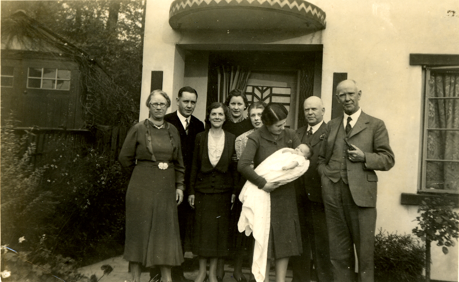
b. 1904, Chard, Somerset · d. 1975, 22 Priory Crescent, Wembley, London, Middlesex, HA0 2QQ · m. 1935 Kathleen Mary BROWN
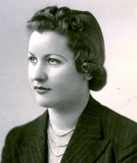
b. 1914, 1 Livingstone Villas, Crewkerne Road, Chard, Somerset · d. 1981, 48 Bure Park, Bure Lane, Christchurch, Dorset
Images (5)
🔒Log in to view

🔒Log in to view

🔒Log in to view

🔒Log in to view

🔒Log in to view

Documents
📍 Location pins are approximate. Historic place names, boundary changes, and demolished buildings mean that some pins may point to a general area rather than the exact spot. County names reflect the historic county at the time of the event, not modern administrative boundaries.
Please respect this research. This information represents over twenty-five years of careful research and correspondence with family members. You are welcome to use it for personal genealogical research, but please do not reproduce, republish, or redistribute the content, photographs, or documents without permission. About this site →